Space in Everyday Living
EARTHLY BENEFITS TODAY
Of what EARTHLY benefit is the space program?
In the early years of Americas space program, men with vision forecast that multiple benefits would someday be derived from the research and development activities associated with this program. Those benefits are no longer a promise, they are realities.
And this is just the beginning. The versatility and flexibility of the Space Shuttle will open up opportunities for more and longer investigations.
Benefits from past space efforts have already worked their way into daily life, to a far greater extent than most people realize. We apply what we learn in space to improve the quality of life on Earth. Advances in medicine, environmental monitoring and control, meteorology, the study of oceans and Earth resources, communications, education, products and materials, and international peace are taken for granted. These benefits together with the acknowledged impetus given to our technical leadership in the world supply overwhelming evidence of value received.
Most of these benefits are available to mankind throughout the world and some are in current use in countries other than the United States.
Some specific examples of these benefits follow. However, any list is obsolete as soon as it is written, because the applications of technology are constantly increasing.
The real extent of Earthly benefits from future space efforts can scarcely be predicted. The space program is an essential element in keeping our nation strong scientifically, technologically, and economically and thus it keeps us secure.
Photographs and other imagery from both manned and unmanned spacecraft have changed the ways we see our Earth.
Weather
Weather satellite photographs are perhaps the best known applications that affect our daily lives. Since the first weather satellite was launched in 1960, meteorological spacecraft have returned to Earth more information about the atmosphere than had been learned since man first began to study weather. An estimated 100,000 American lives have been saved as a result of early warnings of hurricanes and other severe weather.
Mapping and Charting
High-altitude photographs taken straight down can help mapmakers work efficiently and accurately. Because much larger areas can be covered by spacecraft than by aircraft in the same amount of time, maps can be changed frequently and accurately. The mosaic shown is part of one that was made from color infrared photographs taken of the East Coast from Skylab. Massachusetts is at the top (with Boston Harbor on the right edge of the photograph). The mosaic extends through the New York metropolitan area, New Jersey, and almost to Philadelphia. The Appalachian Mountains extend along the left side.
Land Use
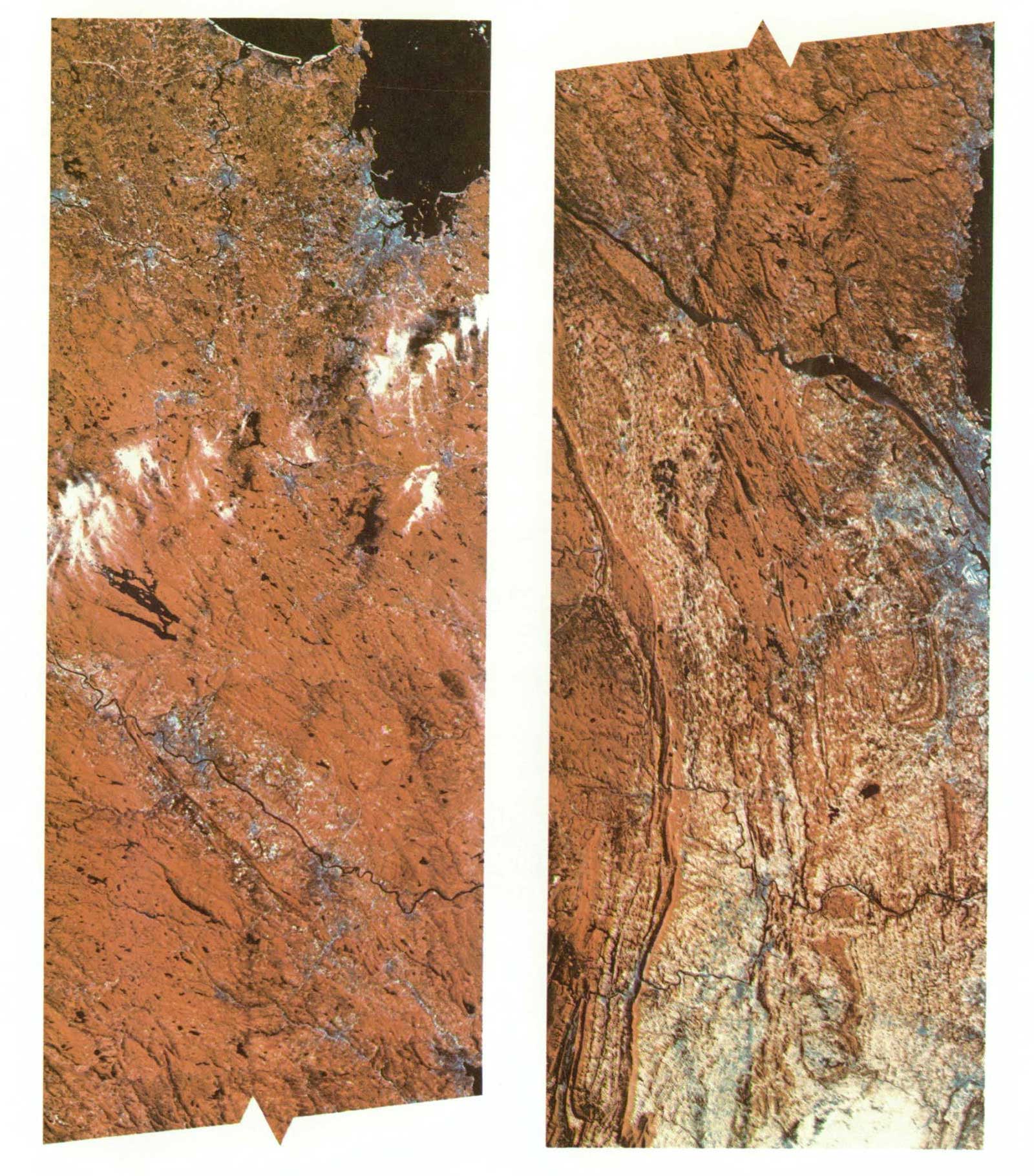
Images transmitted from the Landsat satellites are used for a variety of studies, including determining land use patterns, forecasting crop yields, and helping to find land and water resources in hard-to-reach areas. The various spectral bands are sensitive to different colors. They can be compared (for example, the four bands of the same scene on the page opposite) to help photointerpreters identify features or combined to create a false-color image (as shown below). This scene is the Houston, Texas, area.
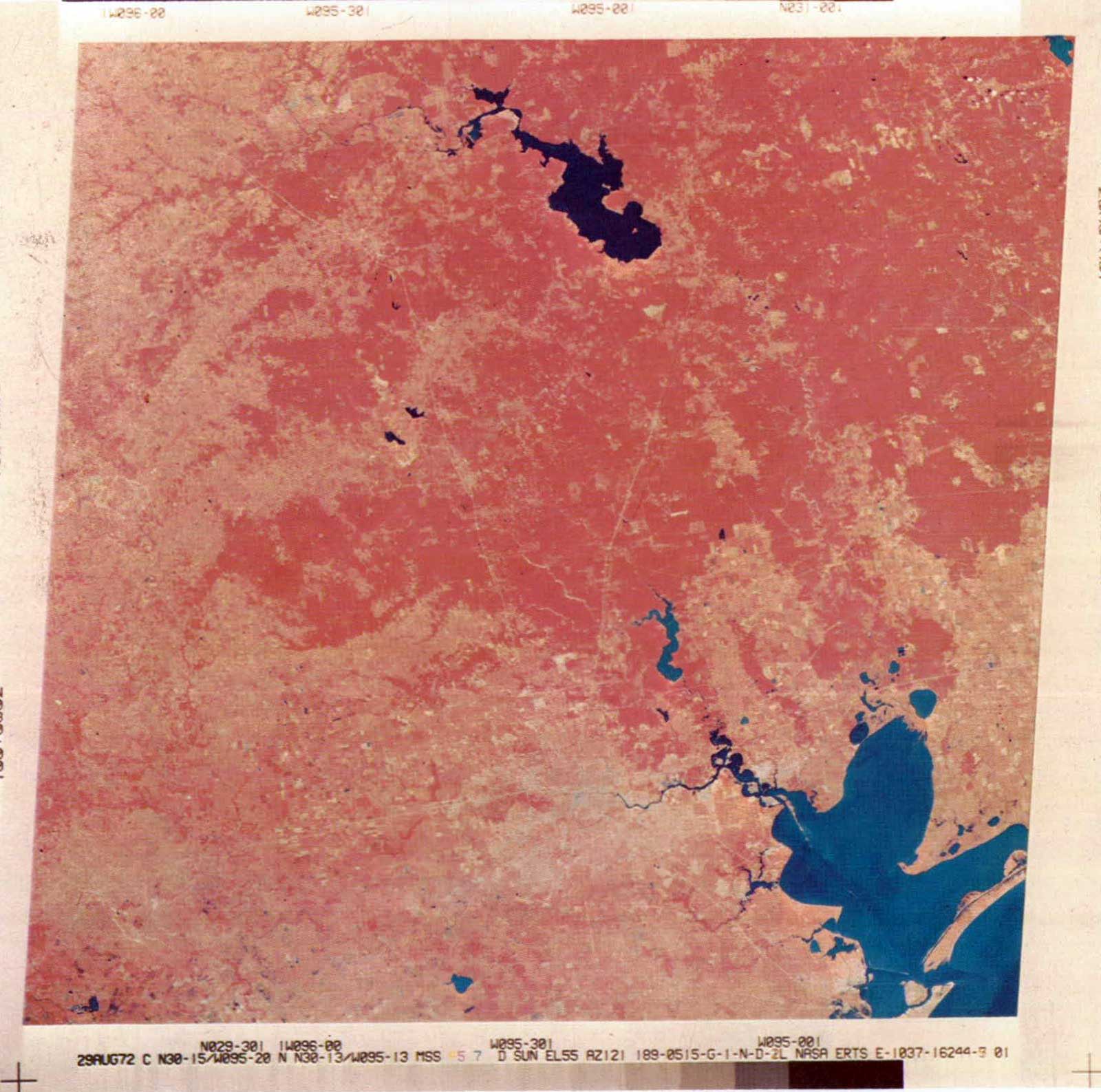
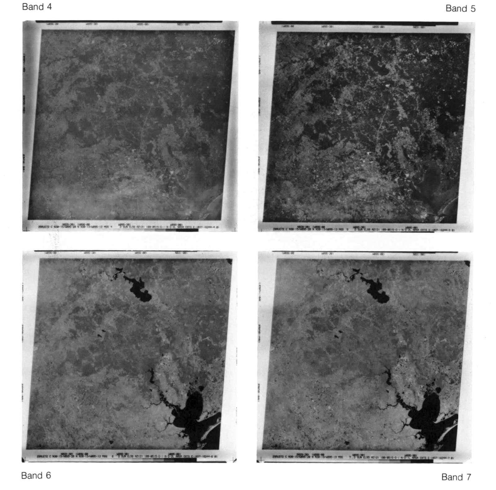
Landsat-1 and Landsat-2 combined provide coverage of every area of the United States every 9 days. The data from Landsat can also be computerized and displayed in block format.
Pollution
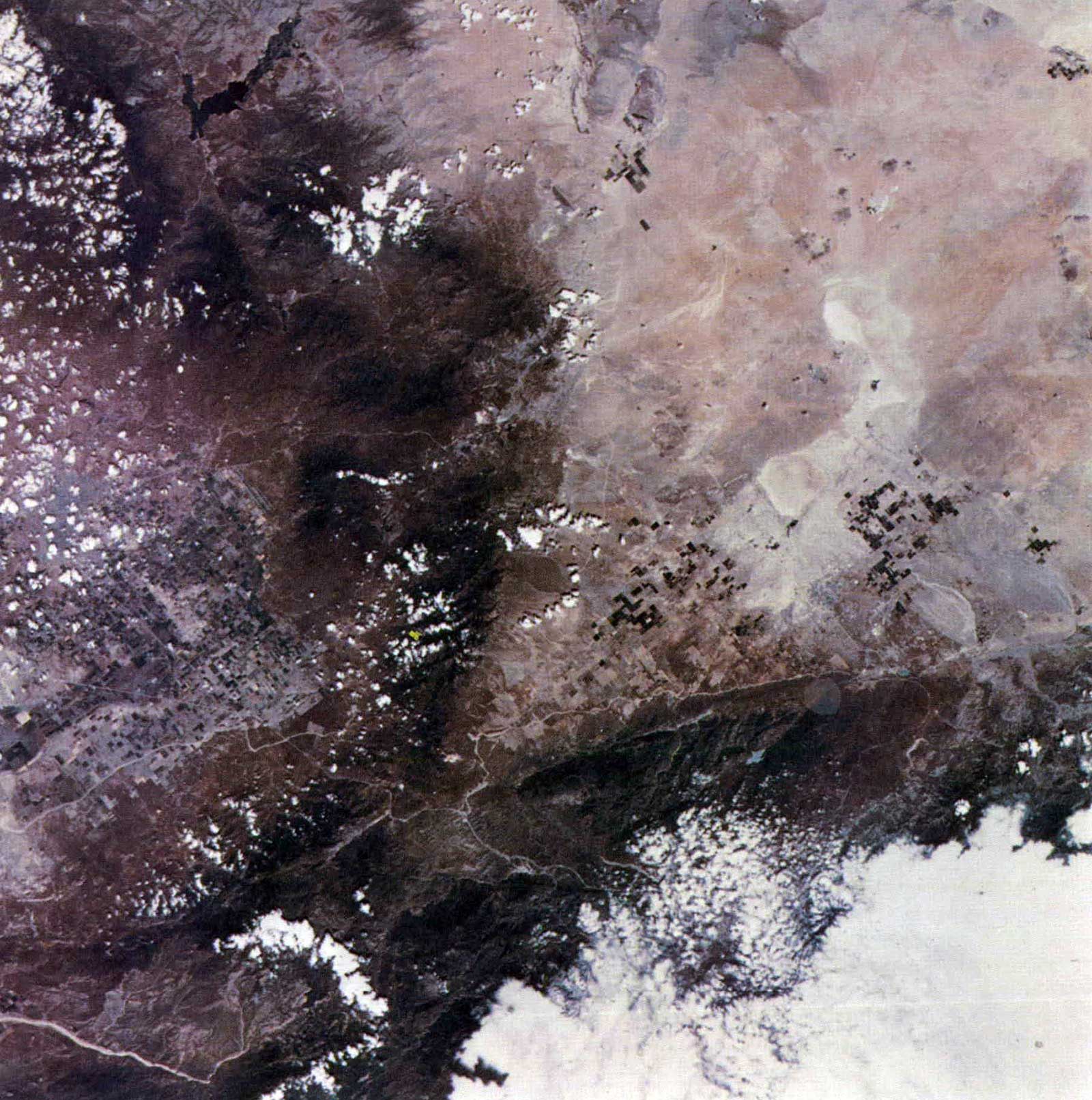
The extent of water and air pollution and sometimes their sources can be established by space photography. Water pollution is visible as fuzziness along the southern shores of the Great Salt Lake. The sharp line across the lake near the top of the photograph represents a railroad bridge that impedes water circulation in the lake; the lighter area north of the bridge is much saltier than the darker area. On the right side of the photograph is Lake Utah, a fresh-water body. Salt Lake City lies between the two lakes. The light splotch in the highlands next to Salt Lake City is the worlds largest open-pit copper mine.
Water Resources
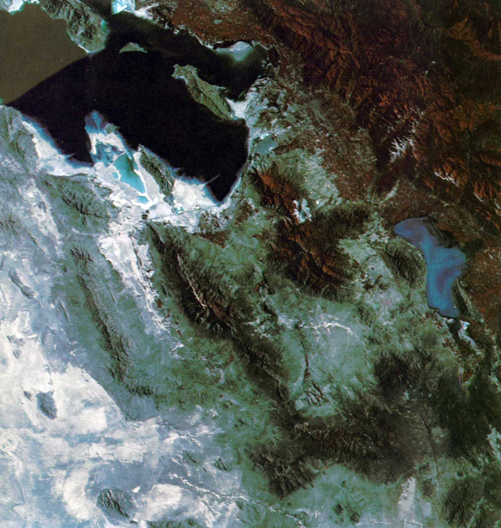
Water resources, especially in inaccessible areas, can be monitored from space. For example, a study of this photograph of snow along the Mogollon Rim in Arizona can lead to accurate prediction of how much water will be available after the thaw to irrigate the desert. Flagstaff is at the bottom center of the photograph and the Painted Desert is across the top. The Meteor Crater is visible slightly to the right of the center of the photograph
Geology
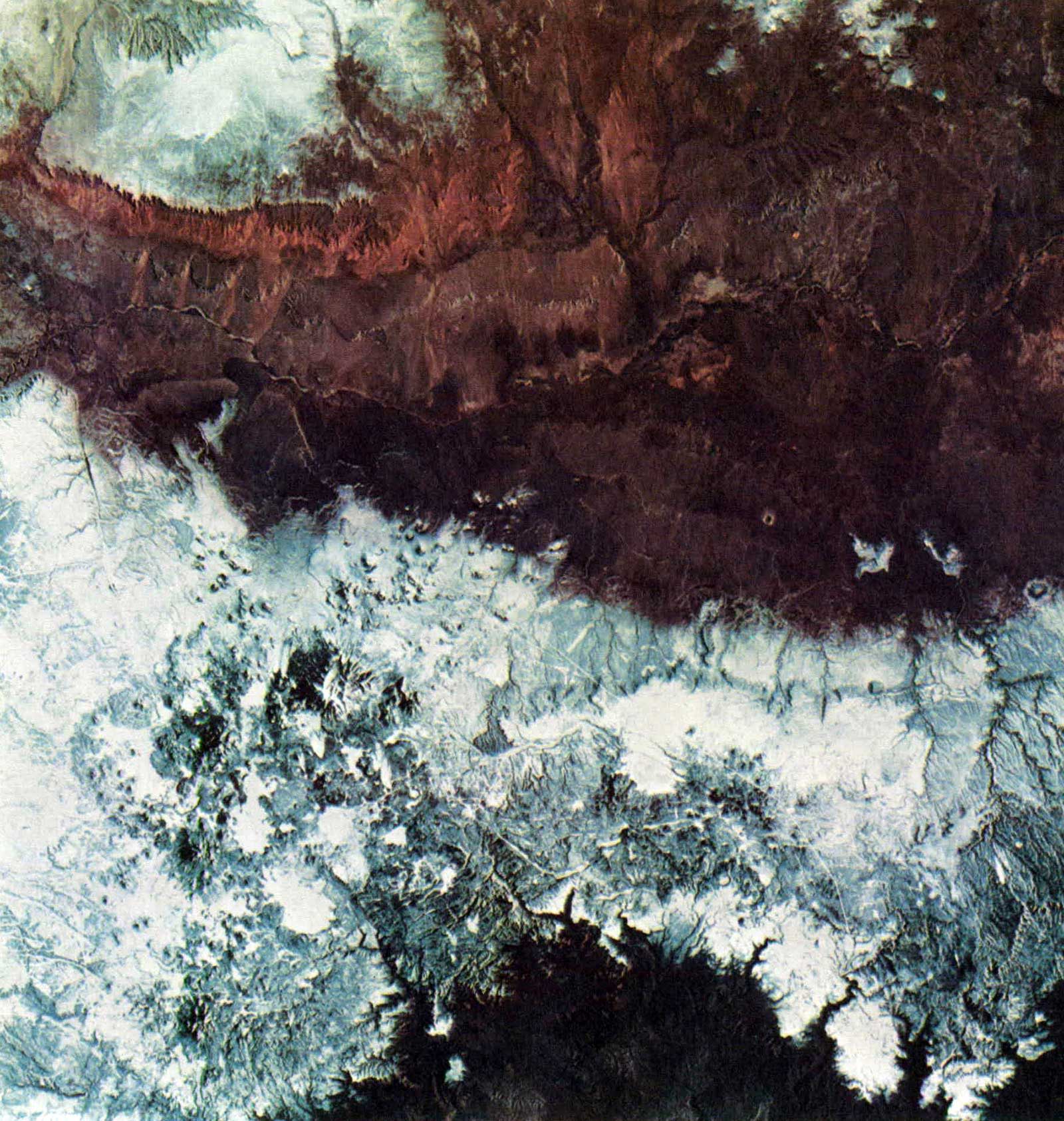
Geological studies can be made from photographs such as this to support mineral exploration throughout the world. Geological faults often stand out in space imagery. The photograph of California just north of Los Angeles clearly defines where three faults meet in a populated area. If mankind can learn to monitor these faults from space, it might become possible to accurately predict the time, location, and intensity of earthquakes. The dark line across the lower third of the photograph is the San Andreas Fault. Angling into the lower right corner and partially hidden by clouds is the San Gabriel Fault. The Garlock Fault is the dark area extending up the middle of the photograph. Lake Isabella is in the upper right and the city of Bakersfield below it. On the right is Palmdale, where the Orbiter is being built.
Oceanography
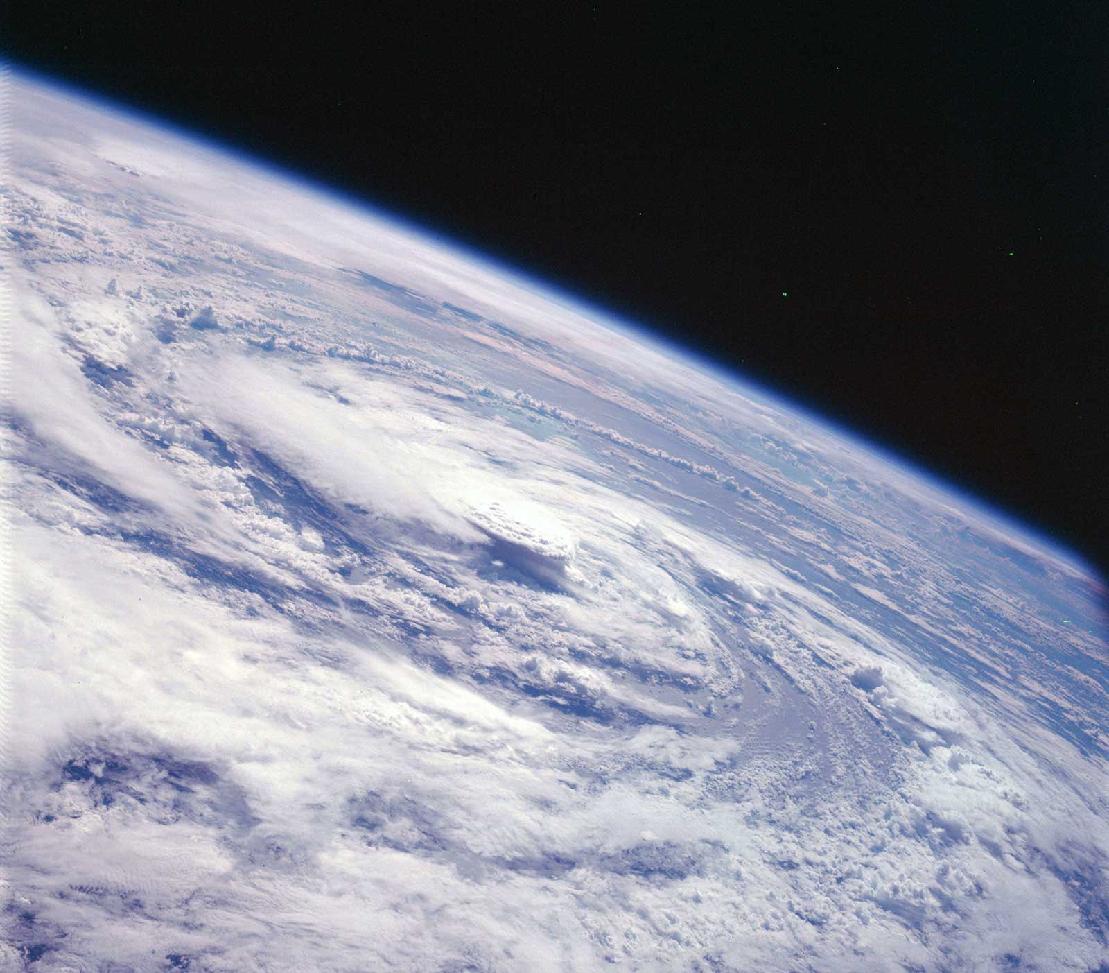
Many features of the ocean can be studied more easily from space than any other way. The photograph taken from Skylab shows a current boundary in the Atlantic Ocean south of Bermuda. Oceanographers had never been able to verify this interaction of currents and ocean swells until they had pictures showing water patterns in extremely large areas pictures that only a camera in space could provide.
Areas of nutrients, such as algae and plankton, are also clearly visible from space. This information is important to commercial fishermen because fish are likely to be concentrated in these areas.
Space imagery can be used to chart the movement of icebergs to indicate ocean currents and to aid routing of ships to safer areas.
A computer using radiance data from a multispectral scanner aboard Skylab charted water depths; this method would simplify updating and correction of hydrographic charts.
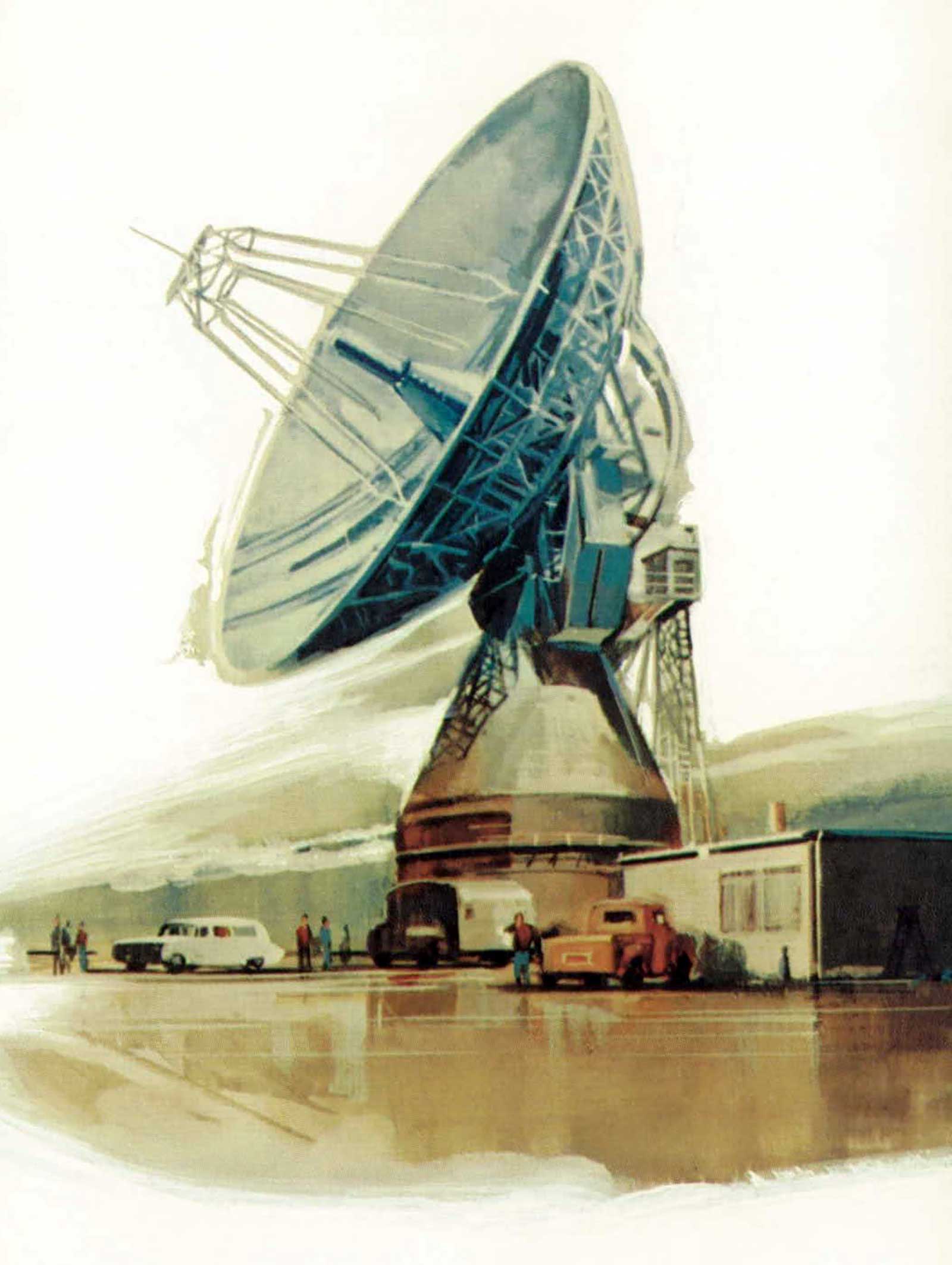
Communications
Because of communications satellites, television viewers allover the world take for granted that they can watch sports and news events as they happen. The communications satellites in stationary orbit transmit a variety of other educational governmental and commercial data as well.
A new light beam voice communications device has been developed by NASA scientists because of space-oriented requirements These communications are immune to interception and jamming and are completely private. Because the remote microphone requires no power, the system offers many possible applications in industry, at sea, and in air/sea rescue operations.
Health Care
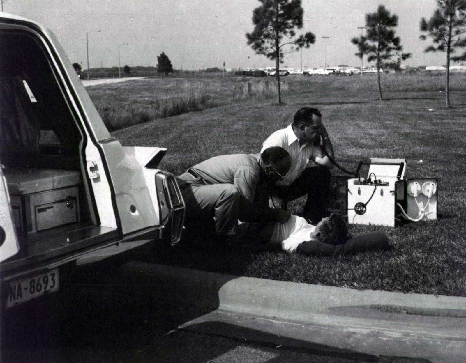
Many advances in health care have resulted from devices originally designed to monitor astronauts in space and send data back to Earth. For example, a lightweight battery-powered mobile unit that fits into an ambulance and links trained emergency medical technicians to a physician is already being used by some communities; the city of Houston, Texas, has equipped 28 rescue vehicles with these units
Inside hospitals, too, automatic monitoring systems similar to the ones used for Apollo astronauts can collect several channels of physiological data from as many as 64 patients and transmit the data in digital form to a central control station for processing by a computer.
Spacesuits and portable life-support systems have inspired other medical advances such as a mobile biological isolation system and a portable volume-controlled respirator.
Materials and Manufacturing
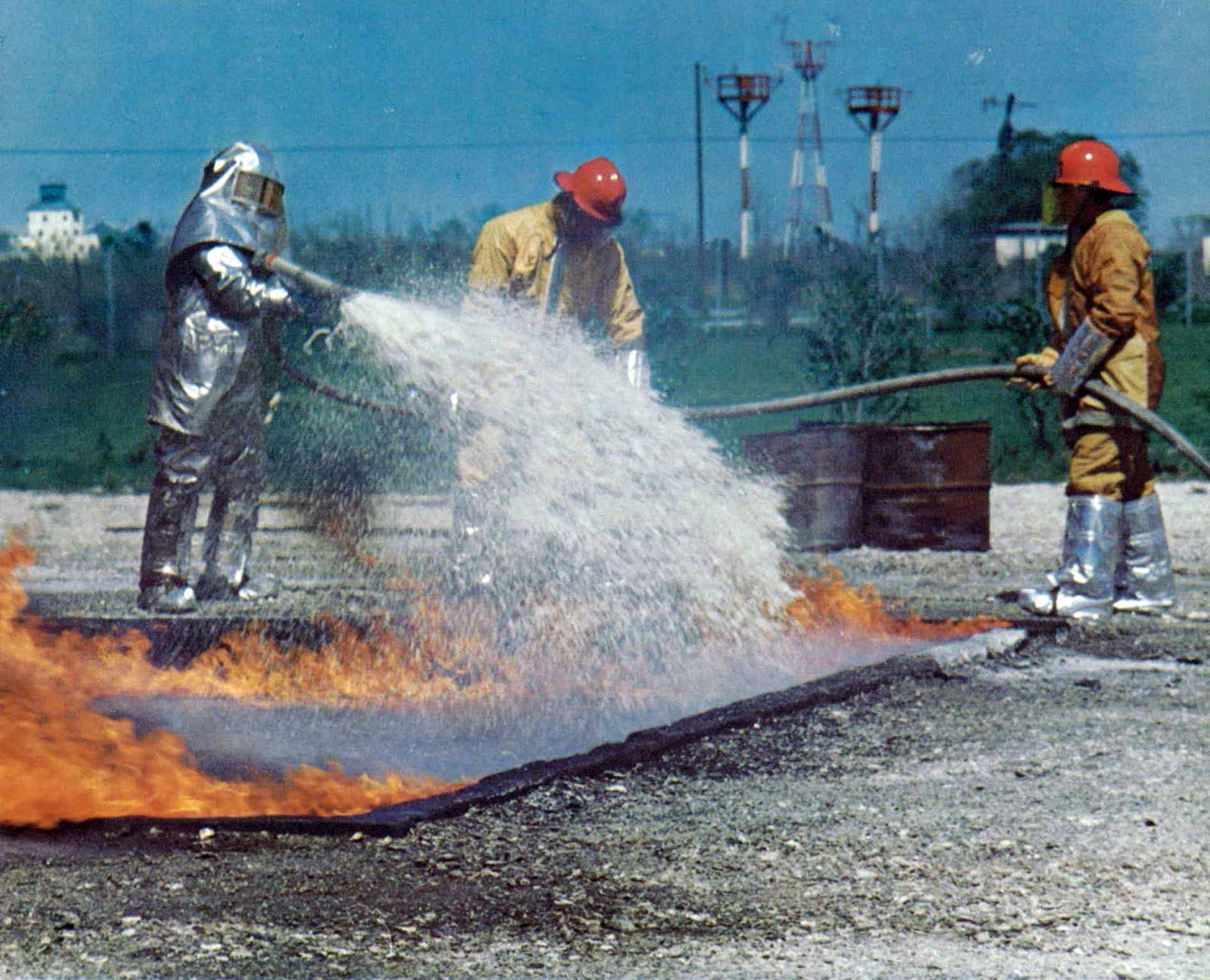
In industry, new materials and changed manufacturing processes have resulted from space-oriented research. Fireproof materials, for example, are constantly being improved to provide better protection (including facial covering) for firefighters.
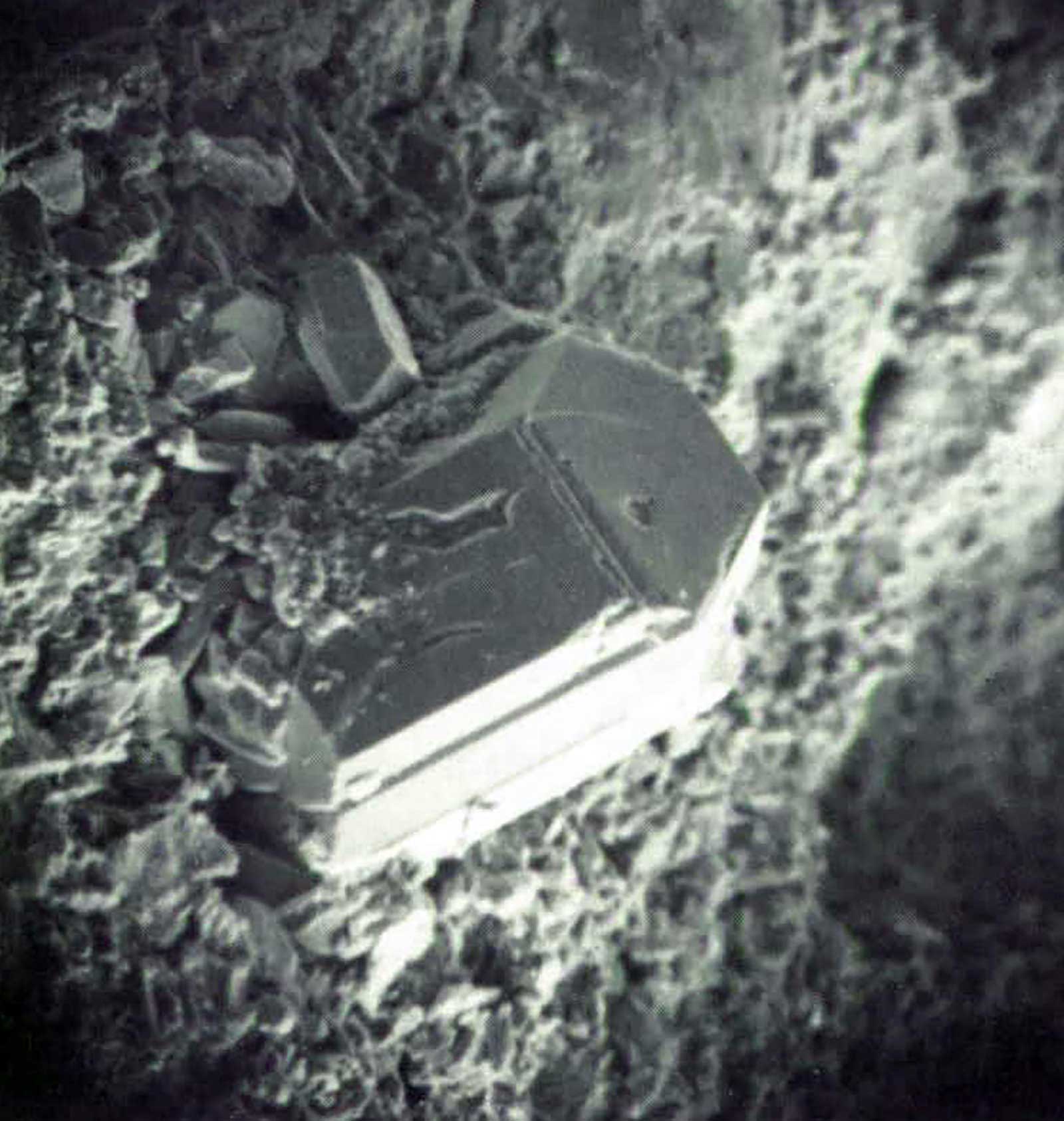
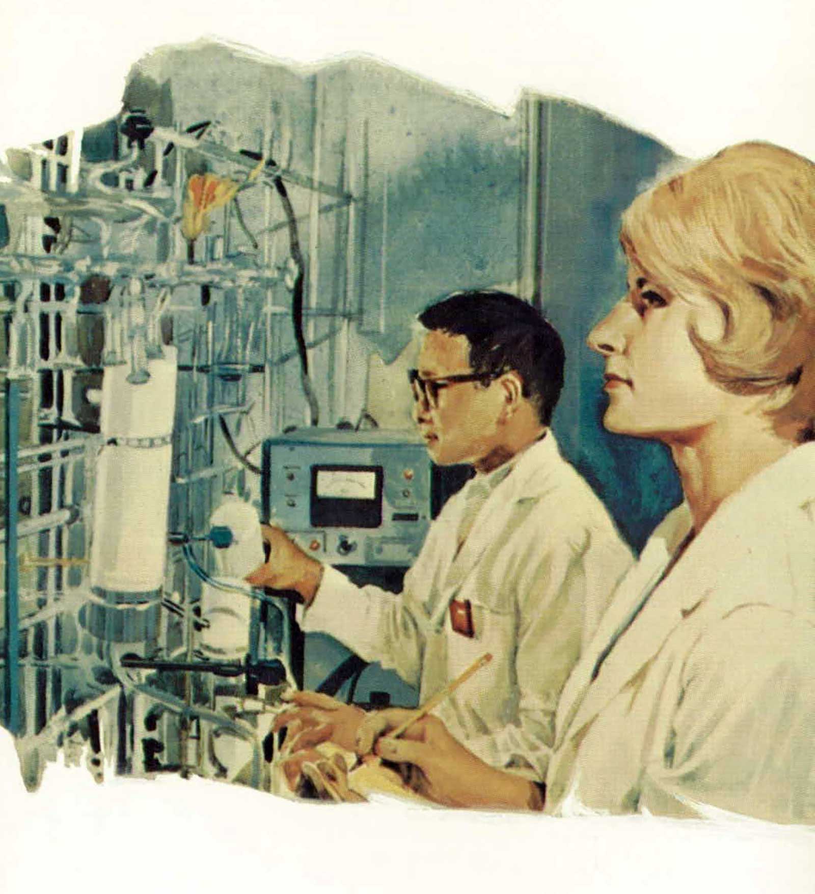
Still in the experimental stage is the growing of crystals in space, which can be used in various applications, including the production of electronic devices. Experiments have indicated that this type of production in space is feasible and provide data on the conditions under which products of this kind can be made.
These are just a few examples of the ways space research is affecting our daily lives in unexpected ways. And the list lengthens after every space venture.
EARTHLY PAYOFF TOMORROW
Man goes into space to explore the unknown to increase our understanding of the past, present, and future of the universe and humanity’s place in it. When the Space Shuttle becomes operational in 1980, it will be an important tool to provide mankind with information to help in managing and preserving our crowded Earth. Users of the versatile Shuttle system will include communications networks, research foundations, universities, observatories, federal departments and agencies, state agencies, county and city planners, public utilities, farm cooperatives, the medical profession, the fishing industry, the transportation industry, and power generation and water conservation planners.
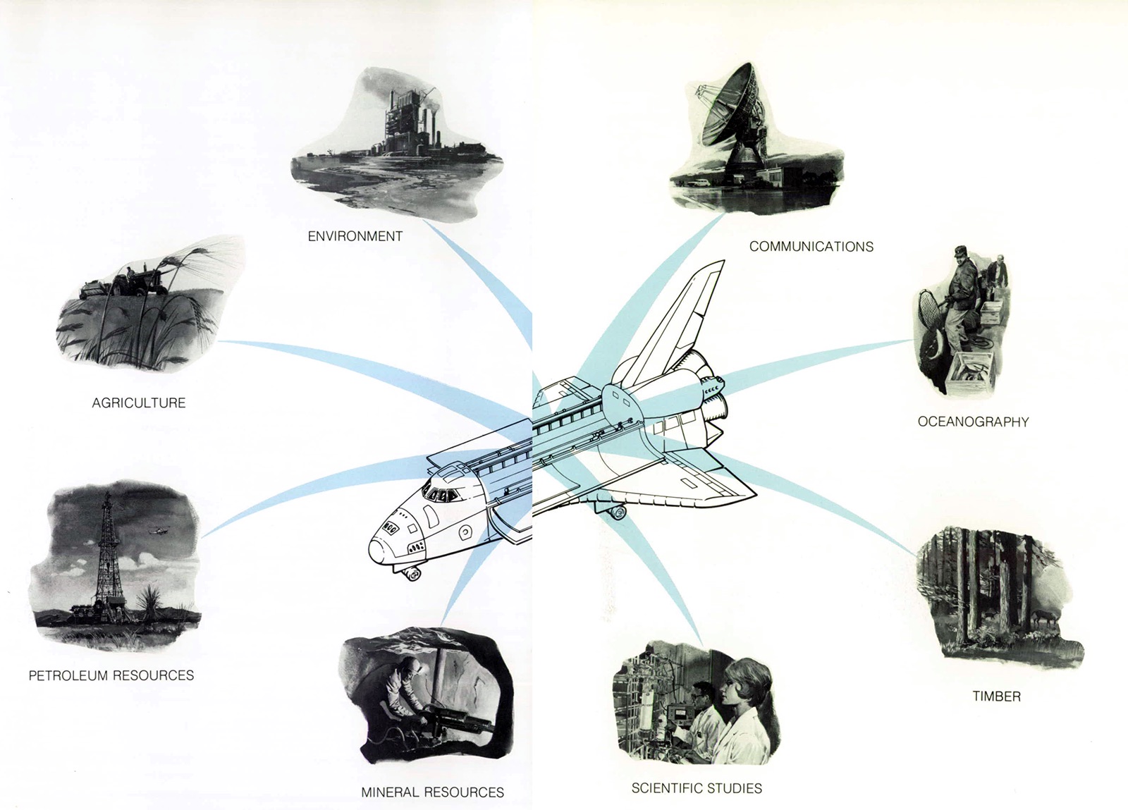
Payloads launched by the Space Shuttle will provide practical data that will affect both the daily lives of people and the long-term future of mankind.
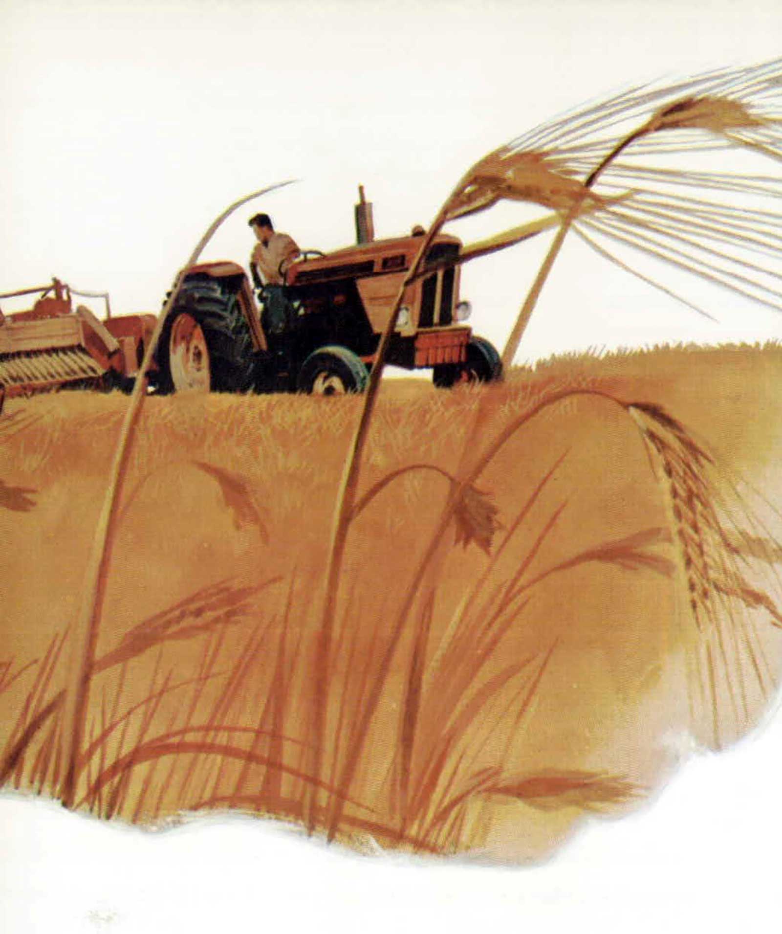
Agriculture
Sensor systems in space can help the world solve its food problems. The sensors can identify crops in each field, tell the vigor and probable yield of those crops, and determine plant diseases or insect infestation. This information will help agricultural specialists predict total food available on a worldwide basis.
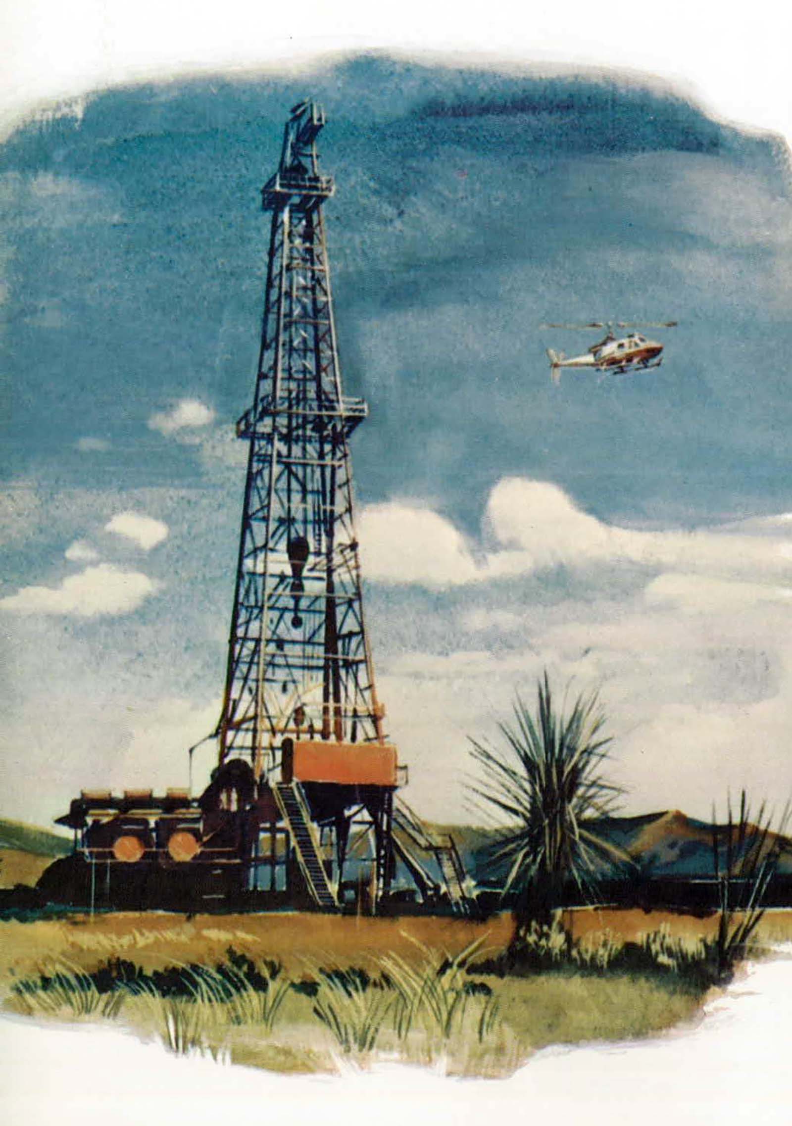
Petroleum Resources
Photographs of the Earth taken from space have already supported explorations of oil and natural gas around the world. The improved satellites of the Space Shuttle era will be able to locate new sources of fossil fuels.
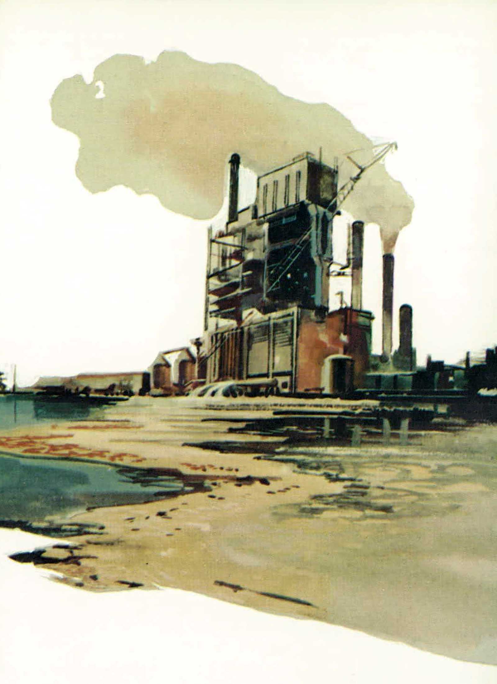
Environment
In environmental studies, satellites can send weather information to the ground, survey land use patterns, track air pollution and identify its source, monitor air quality, and locate oil slicks. A pollution-mapping satellite can cover the entire United States in about 500 photographs; cameras carried in high-altitude airplanes would use about 500,000 frames to cover the same area. What would take years to monitor by air can be monitored from space in a few days.
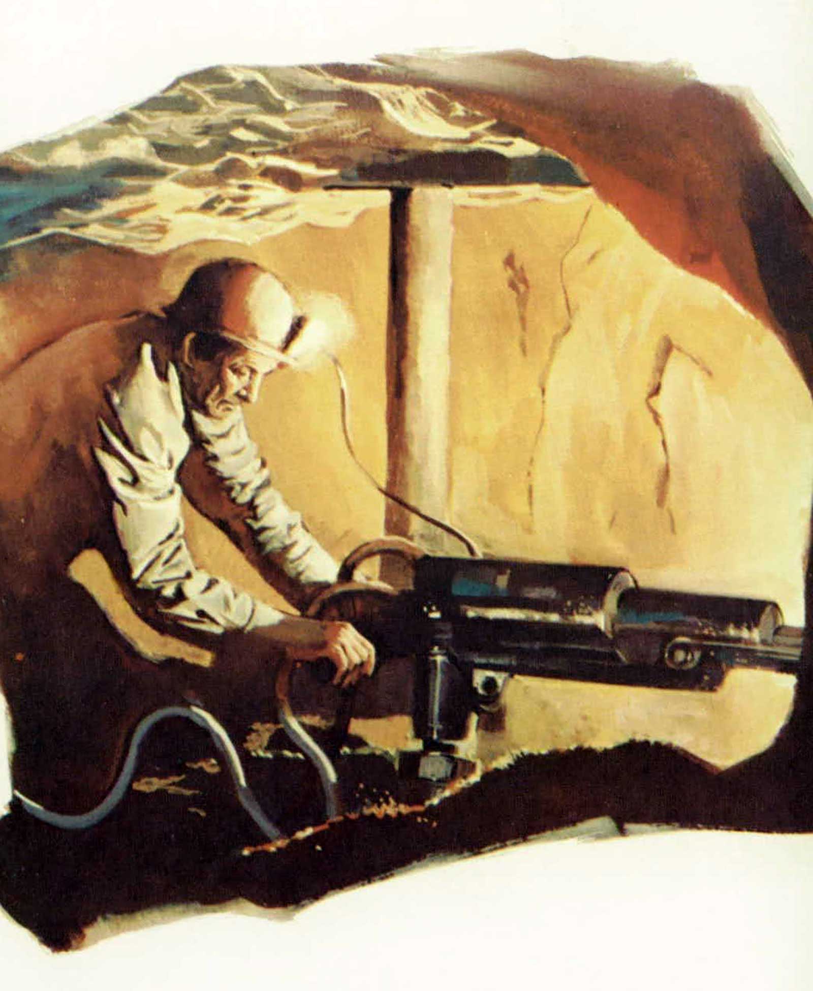
Mineral Resources
Potentially large mineral deposits have been identified in many parts of the world as a result of Skylab photographs. The advanced satellites emplaced by the Space Shuttle are expected to make many more valuable mineral discoveries.
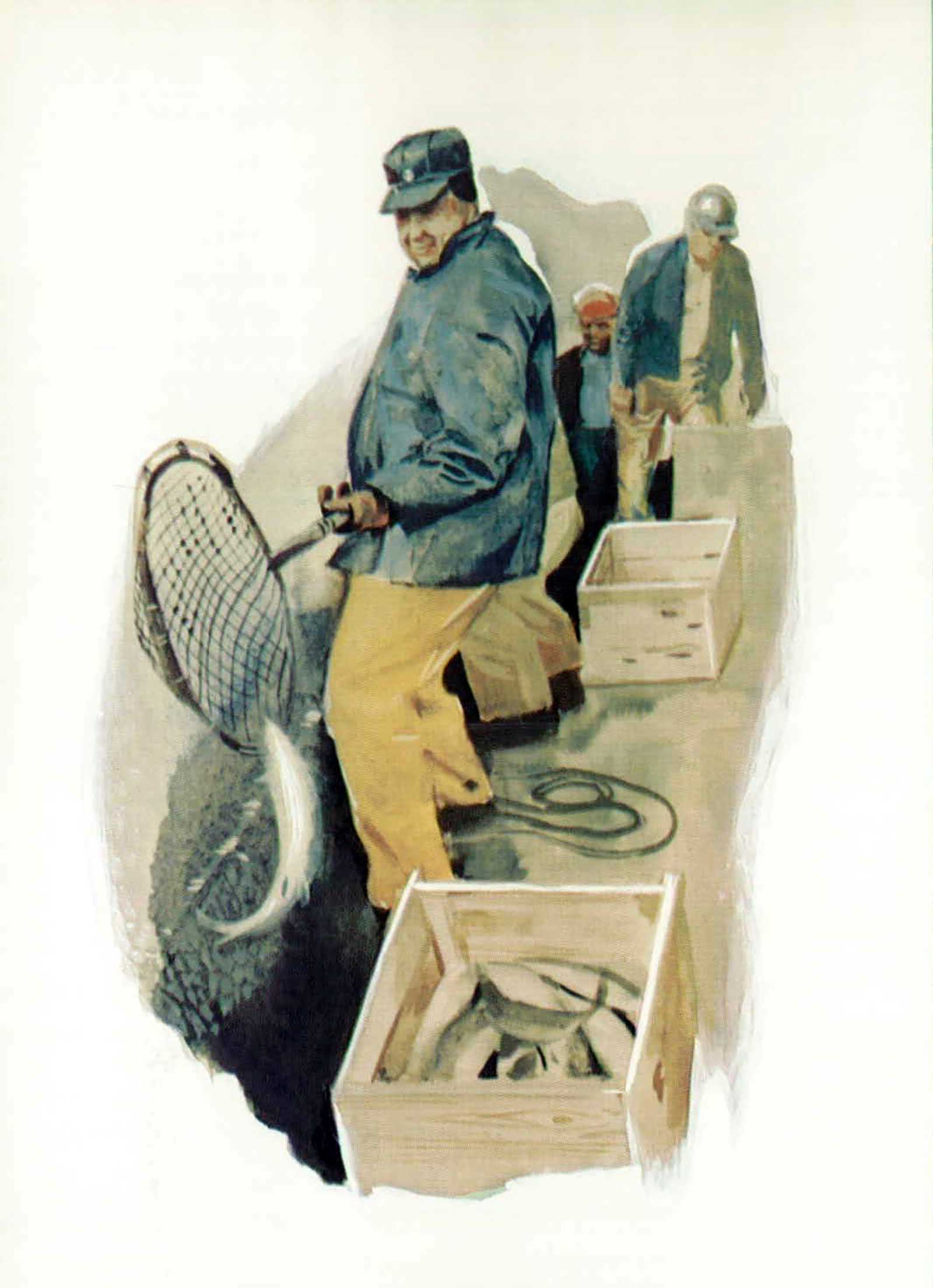
Oceanography
By mapping the ocean surface temperature, Earth resources satellites will help oceanographers understand current patterns. This, in turn, will enable fishing experts to predict the movements of schools of fish. Ice movements in the ocean can also be tracked from space.

Timber
Shuttle-launched satellites can help conserve our forest resources, especially in remote areas, by discovering fires, by detecting tree diseases and infestations of pests, and by providing accurate inventories of our timberlands.
Scientific Studies
Shuttle is capable of taking into Earth orbit completely equipped scientific laboratories manned by scientists and technicians. In the weightless environment of space, researchers can perform many tasks that cannot be accomplished against the gravitational pull of Earth.
Communications
Communications satellites have made intercontinental television possible and are reducing the costs of transoceanic telephone calls. The costs will decrease again when the reusable Shuttle takes new and improved satellites into Earth orbit.